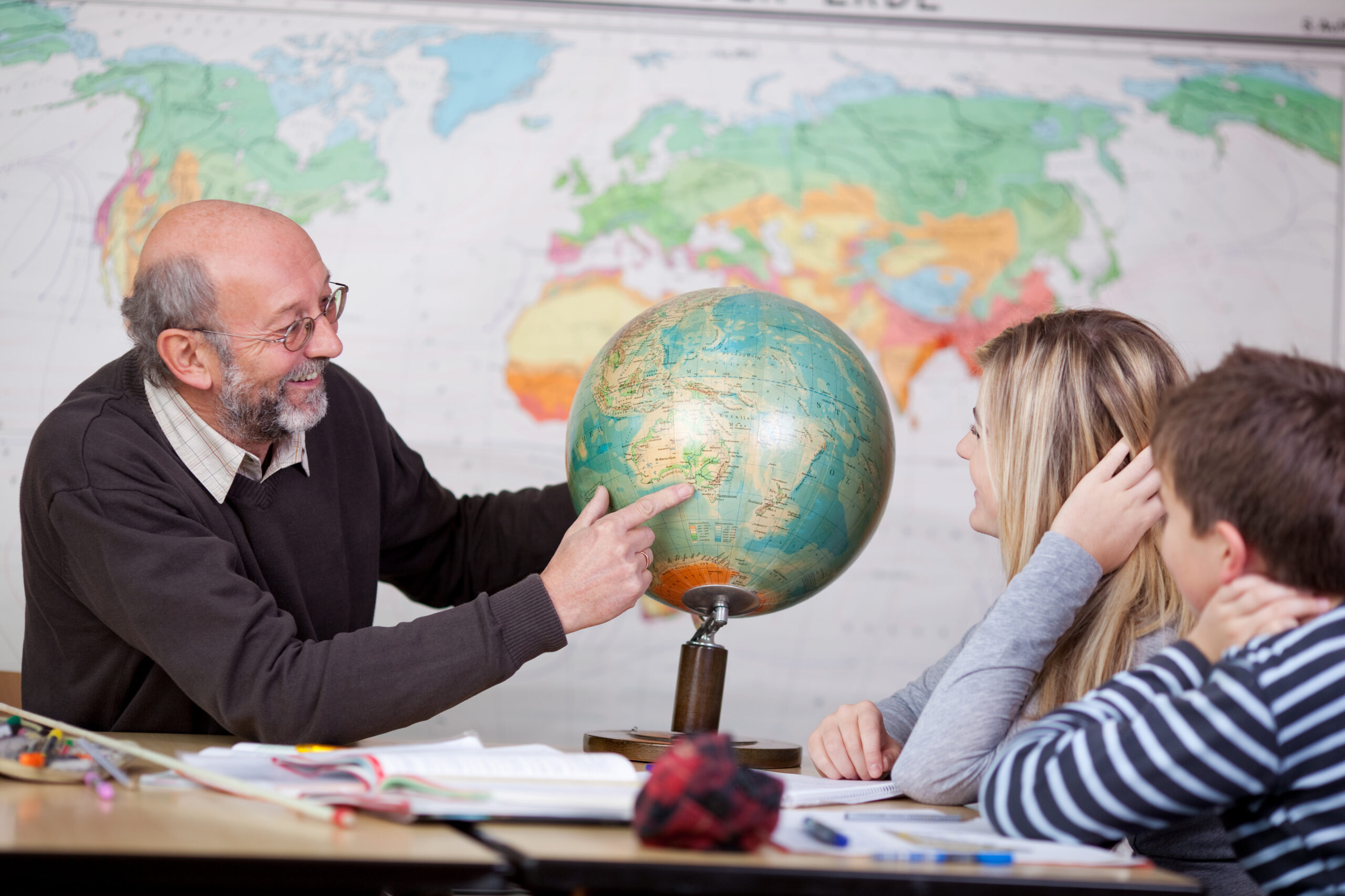
Geography departments within secondary schools across the UK rely on printed atlases for many different areas across the curriculum. Although there has been several different breakthroughs in recent years with ‘google maps’, ‘digimaps’, and various different apps – pupils require atlases to understand the organisation of continents, shape of countries and to develop their global sense of direction.
This journey through geography usually starts with ‘Map Skills’. Atlases play a massive part when identifying and labelling each of the oceans and continents around the world. Time is spent with pupils recapping what they have already learned in primary school regarding how to use an atlas and the variety of maps which can be found within an atlas. The difference between physical and political maps is also stressed, as well as who may use these different types of maps and why they may require them. This introduction is vital to young pupils as the skills and knowledge they gain will stand them in good stead as they progress through geography. Needless to say, none of this could be done without the use of an atlas.
As pupils progress through geography, they gain a unique understanding of the ways in which people and the environment interacts in response to physical and human processes at local, national, international and global scales. In order to explore some of these wider issues such as climate change, contrasts in development and environmental hazards – atlases are crucial. Various types of both physical and political maps are required and used when we investigate such detailed and ever-changing topics.
Finally, during pupils’ senior phase of Secondary Education, atlases are essential as students study human environments, physical environments and global issues – with atlas work being present across all three aspects. Furthermore, pupils can independently research current issues and carry out fieldwork – both of which require the use of atlases for map work. The skills gained as far back as their map skills lessons are fundamental as pupils investigate issues around the globe and collect their own data in their local area.
In summary – atlases are essential equipment needed across all geography departments within secondary schools. They are crucial when developing pupils’ basic geographical skills, improving pupils’ global sense of direction and increasing pupils’ awareness of scale when investigating many current global issues. Without atlases… we would be lost!
Fiona Goodwin
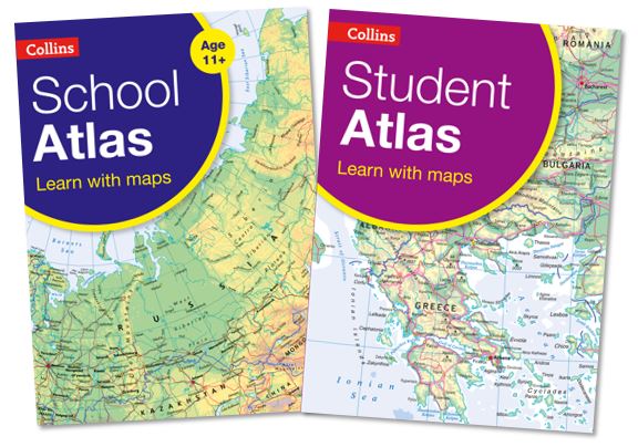
There is currently 30% off all Collins School and Student Atlases. Find out more